Jamaica is a tropical maritime island in the Caribbean Sea, situated about 145 km south of Cuba
and 161 km southwest of Haiti. The area of Jamaica is 11,420 sq km.
Jamaica’s terrain is marked by a series of interior mountain ranges which extend from east
to west. Many small rivers and streams flow to the north and south of the central plateau, before cascading into
the Caribbean Sea across lowlands and coastal plains. The principal mountain range known as the Blue Mountains
is situated in the eastern section of the island, of which Blue Mountain Peak is the highest point, measuring 2,256m
above sea level. The irregular coastline is 1,022 km long, and is marked by natural harbours, secluded bays,
magnificent beaches and rugged cliffs. Thermal springs, limestone caves and beautiful waterfalls can be found in various areas.
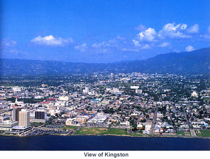
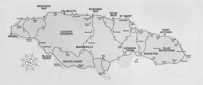
Jamaica is divided into three counties and fourteen parishes. The capital and major commercial
and cultural centre, Kingston, is situated on the southeast coast, in the shadow of the magnificent Blue Mountains
and on the shores of the seventh largest natural harbour in the world. Montego Bay, situated on the northwest coast,
is the second largest city and the centre of tourism activity. Other tourist resorts include Port Antonio, Ocho Rios and Negril.
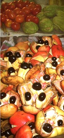
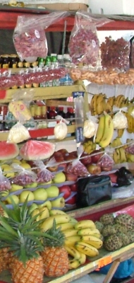
Jamaica’s main natural resources are bauxite, gypsum and limestone. Fertile soils suitable
for agriculture are found on the lowlands and coastal plains.
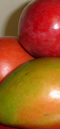
Jamaica is renowned for its biodiversity, with over three thousand species of plants, of which
about one-quarter are found nowhere else on Earth. Birdlife is abundant and highly diversified. The swallow-tail
hummingbird is found in Jamaica only and is an important national symbol.
Climatic conditions in Jamaica vary depending on the elevation above sea level and the time of day.
The heat and humidity of the coast are tempered by regular north-eastern trade winds. The average annual temperature
for the coastal plains is 27ºC, while in the central highlands above 900m the norm is about 22ºC.
The average annual temperature at higher altitudes is considerably lower, particularly in the mornings and at night.
Rainfall is unevenly distributed between the wet, misty mountain ranges, particularly in the northeast,
and the drier southern areas in the shadow of the high central plateau. The rainy season runs from May to June and
October to November. Tropical storms and hurricanes are active in the Caribbean between June and November.